GeospatialSample
Flow / connection map
Draws movement between places as lines whose width shows volume.
Shipments from three hubs to their markets.
Sample data
Use it when
- Trade, travel or shipments between places
- Showing hubs and their reach
Avoid it when
- Many overlapping routes: aggregate or filter first
Display modes
- Default
- Shipments from three hubs to their markets.
- Impact
- Click a hub to isolate its routes.
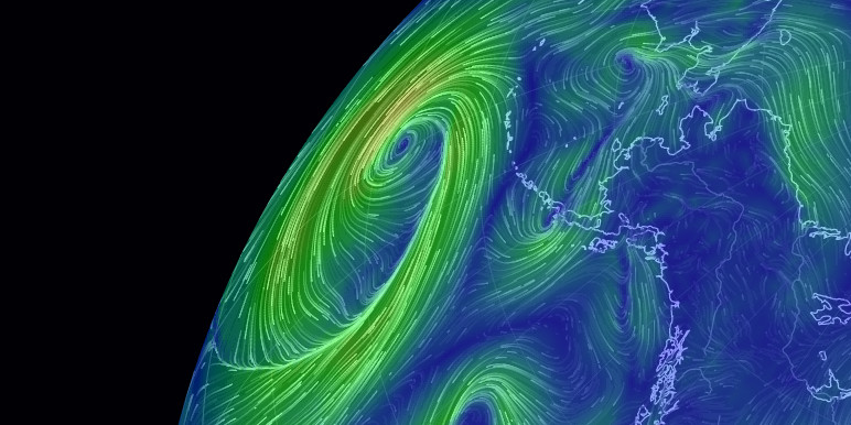
Seen in the wild

More in Geospatial
Choropleth map
Colours each region by a rate or share, showing geographic patterns.
Symbol / bubble map
Places a circle on each location, sized by value, so totals compare fairly regardless of land area.
Cartogram
Resizes places by a value instead of land area, loosening geography so the data sets the size.